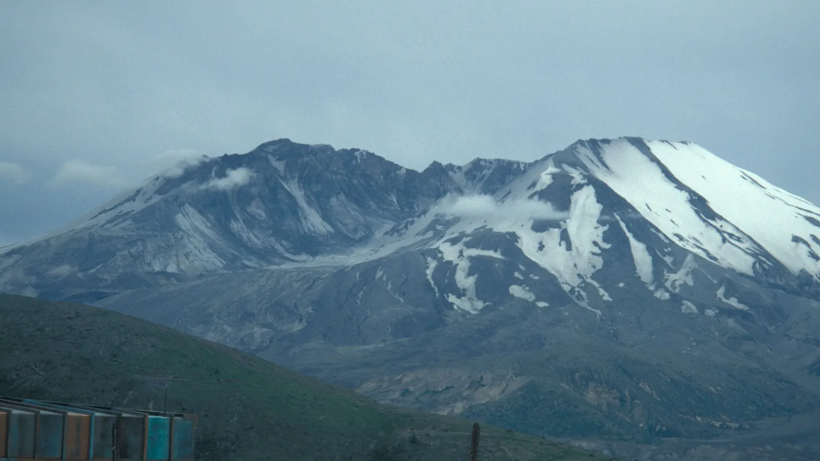
At 8:32 on the morning of 18 May 1980 the north face of St. Helens slid away in the largest landslide in recorded history, and the lateral blast that followed flattened two hundred square miles of forest in minutes. The summit went from 9,677 feet to 8,363.
Forty-five years on, the blast zone is still legible: grey trunks lying in parallel rows pointing away from the crater, with young forest coming up between them. The drive from Seattle is close to three hours each way, so this is a genuine full day and an early start.
What our drivers would tell you
- Johnston Ridge Observatory access has been affected by road damage in recent years — we confirm the road state before we quote it.
- The Windy Ridge approach from the east is longer, emptier and closer to the crater.
Where it is
On these tours
- ✓Mount St. Helens — 10h, from $1,350
Nearby, and often on the same day
What else fits around Mount St. Helens.
 7h 30m
 7h 30m
 4h 00m
 8h 00m
Build a day with Mount St. Helens and see the price.
Tap the places you want on the home page. We work out the driving, tell you honestly if it will not fit, and show the whole vehicle price before you give us a name.